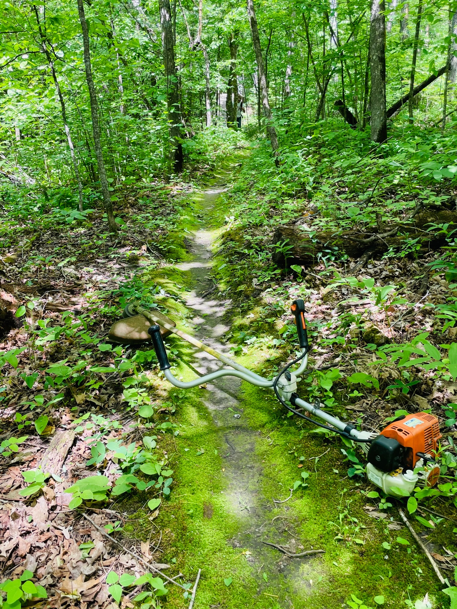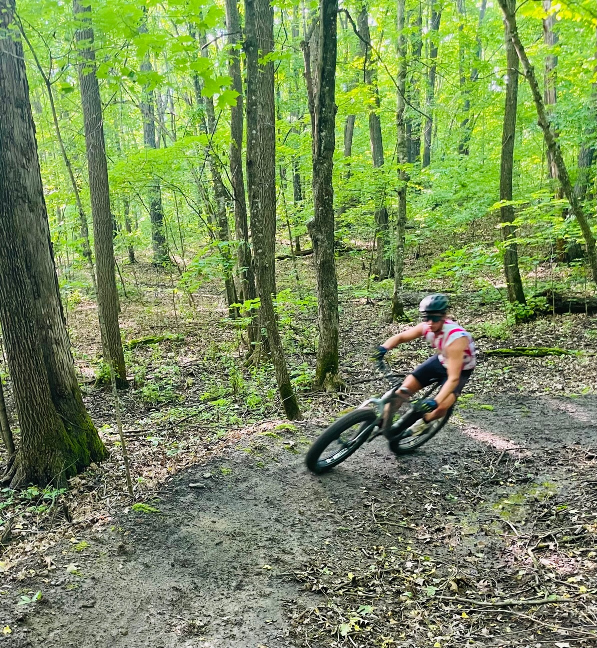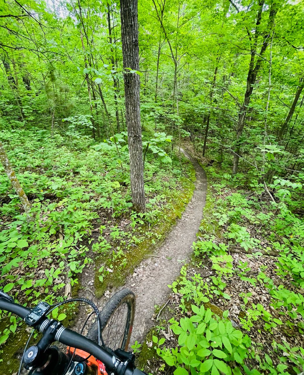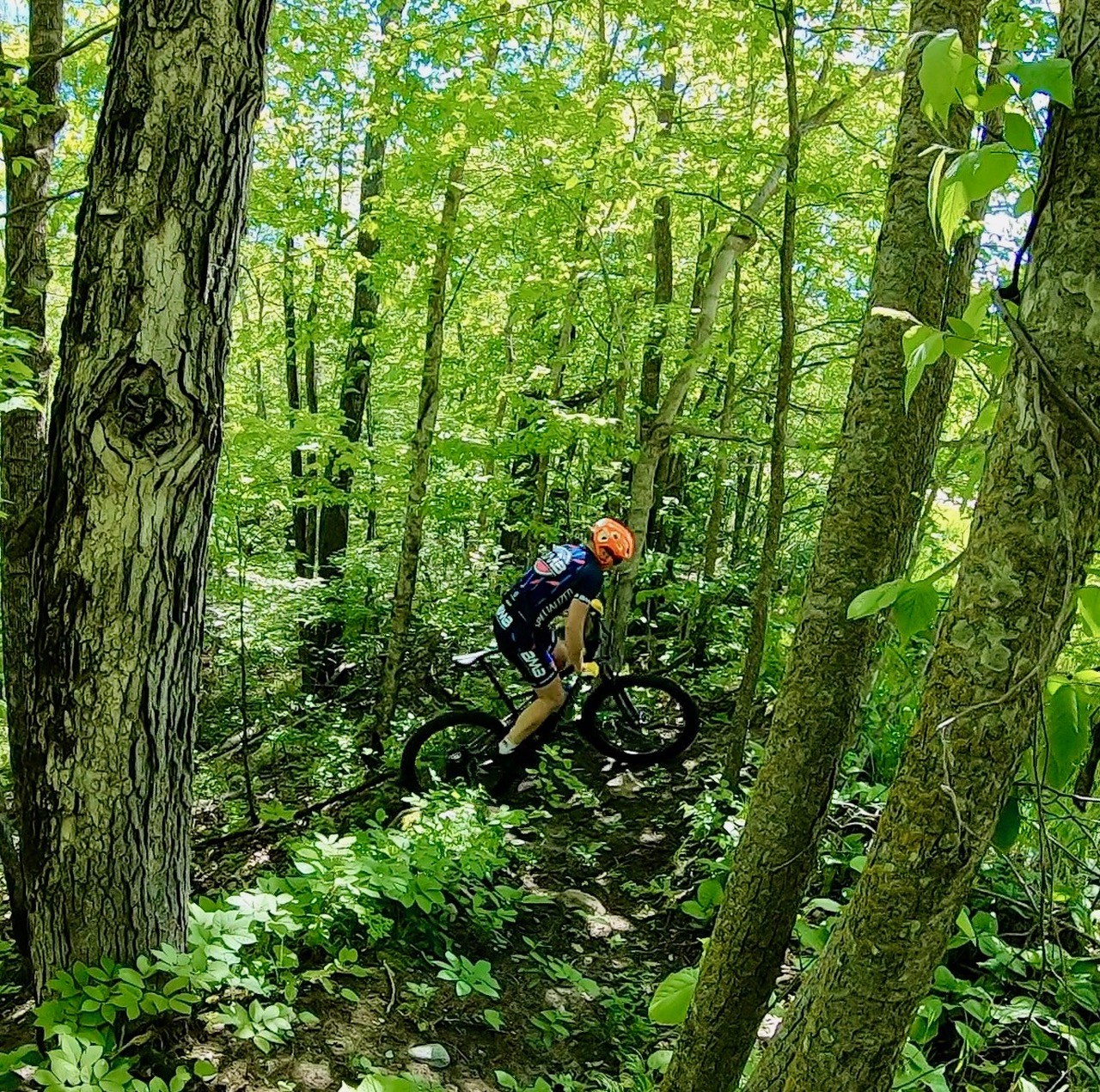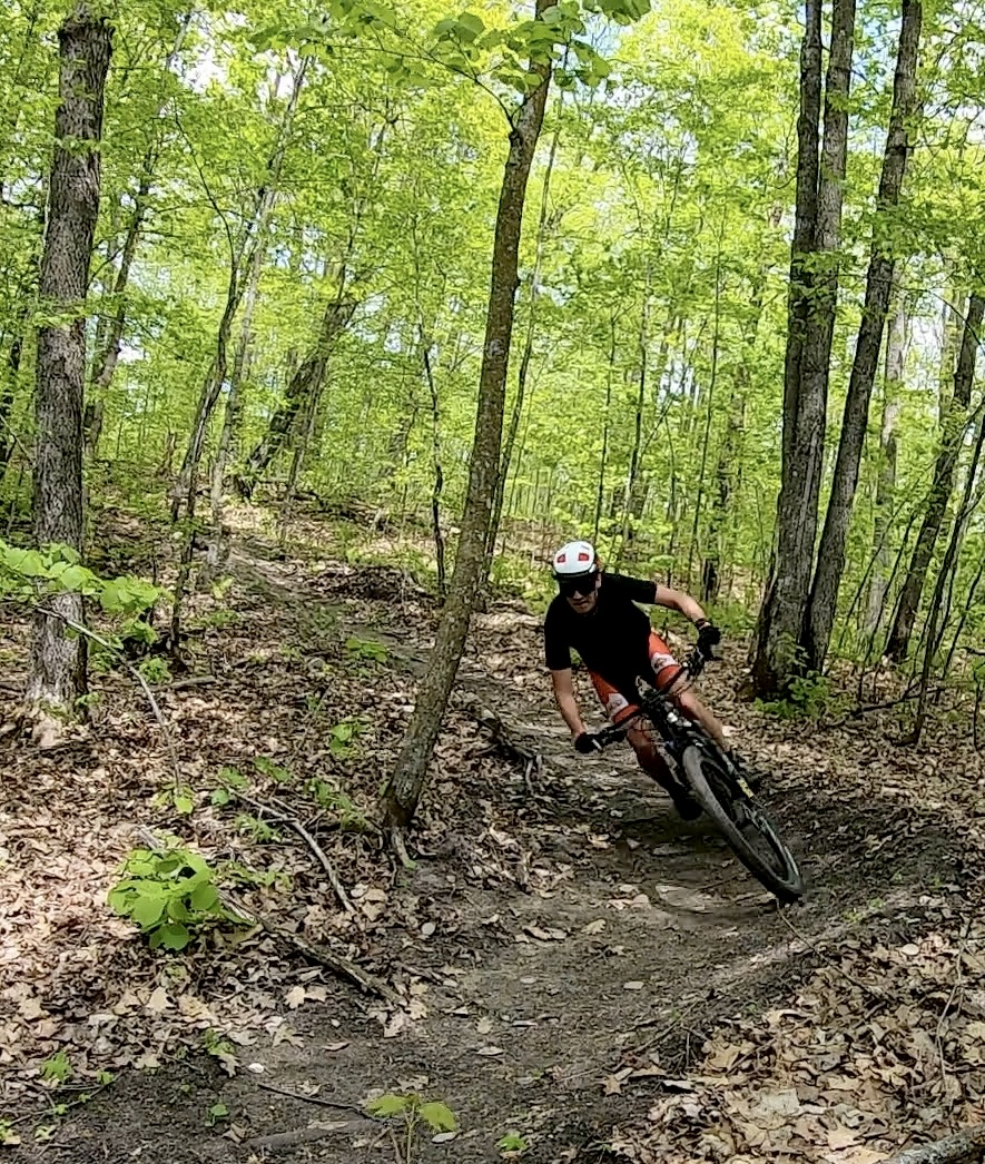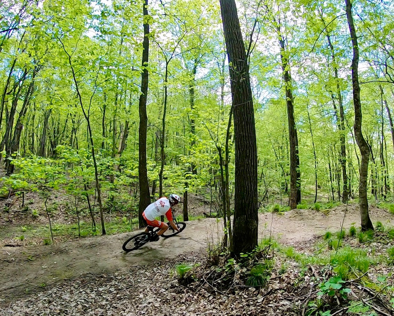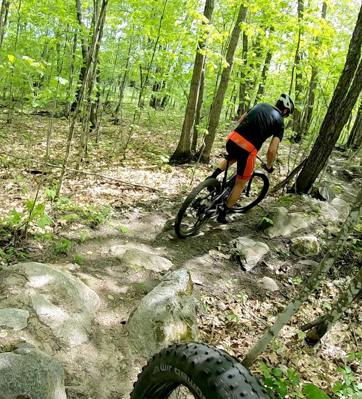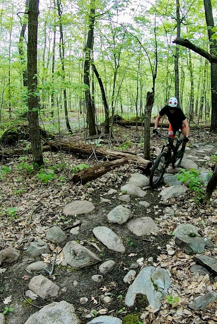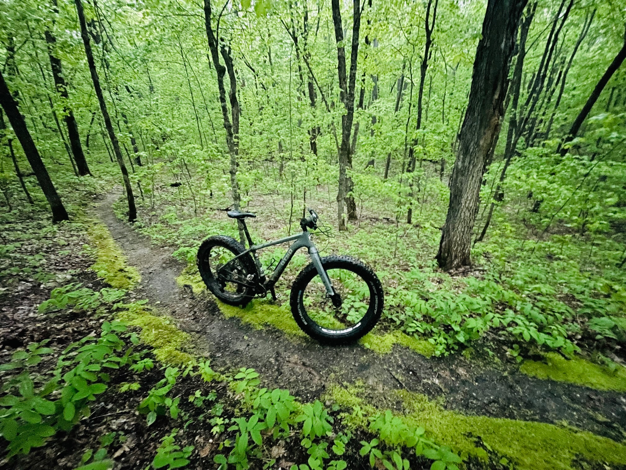
Trails open. Tacky conditions. Recent winds have brought down some forest debris but we are clearing on the trails as much as we can.
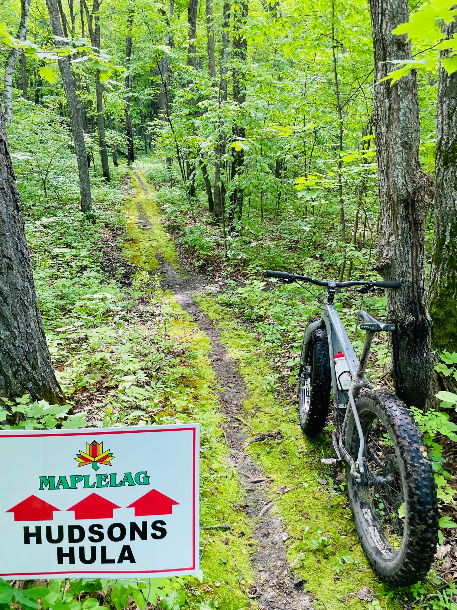
We are tuning on the trails as needed during the summer. Lakeside starter loop brushed out and cleared last week. Bjorps, Moorhead, Hudson’s Hula, and Bullhead Bootleg segments also most recently cleared/blown out. Dirt work and bridge repair on Bullhead Bootleg last Tuesday. As always, be aware for any falling forest matter such as sticks, branches etc. A few areas a little overgrown but nothing to stop from having a good ride!
The key intersections been marked and signed.
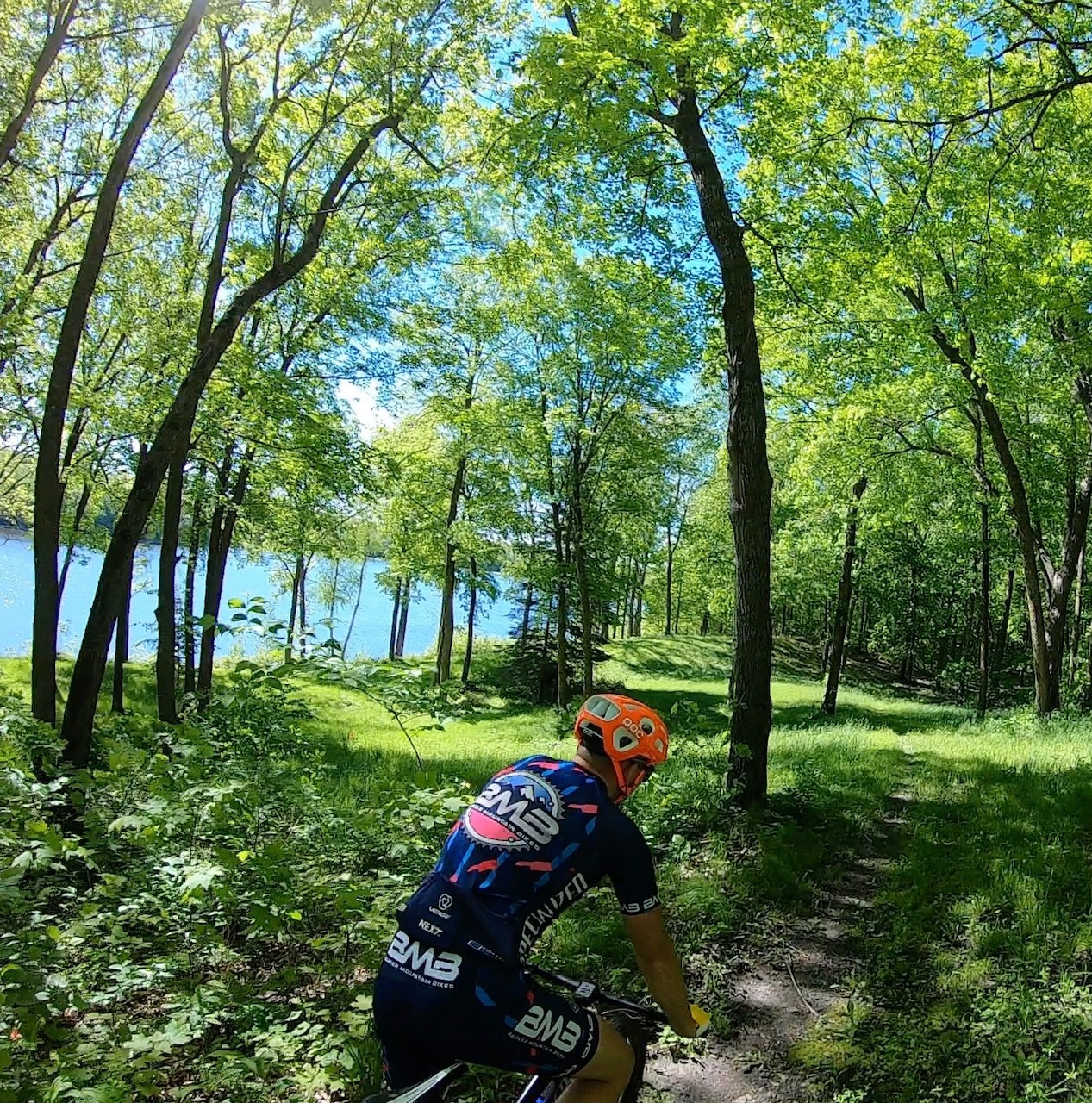
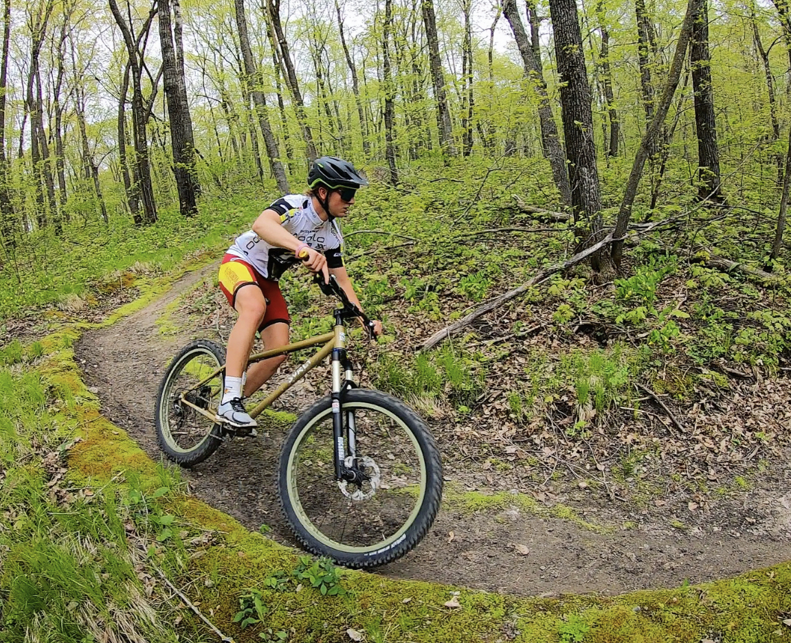
New maps are available at the parking lot kiosk. Online will be posted soon. Click here for link to old maps. The main trail head is near the resort with other trails accessible from the driveway for the Twin Lakes and Sukkerwest loops, county road 110 and hiway 34 for the Bullhead Bootleg loop. We will also have the LagChilada challenge in place again for this season. Pink signs will be placed marking the course. Twin Lakes has a “sport” option to bypass the first part that has more roots.
Summer pass can be purchased here. The passes helps offset maintenance costs. The Maplelag trails are privately owned and operated and we receive no grants or assistance for operating.
By riding at Maplelag, assume all risk and responsibility for any changing conditions that may alter the riding surface. If not comfortable riding with potential changing conditions, it is best not to ride the trails.